DISCOVER THE CLASSIC VALPOLICELLA
Walk to Negrar and surroundings

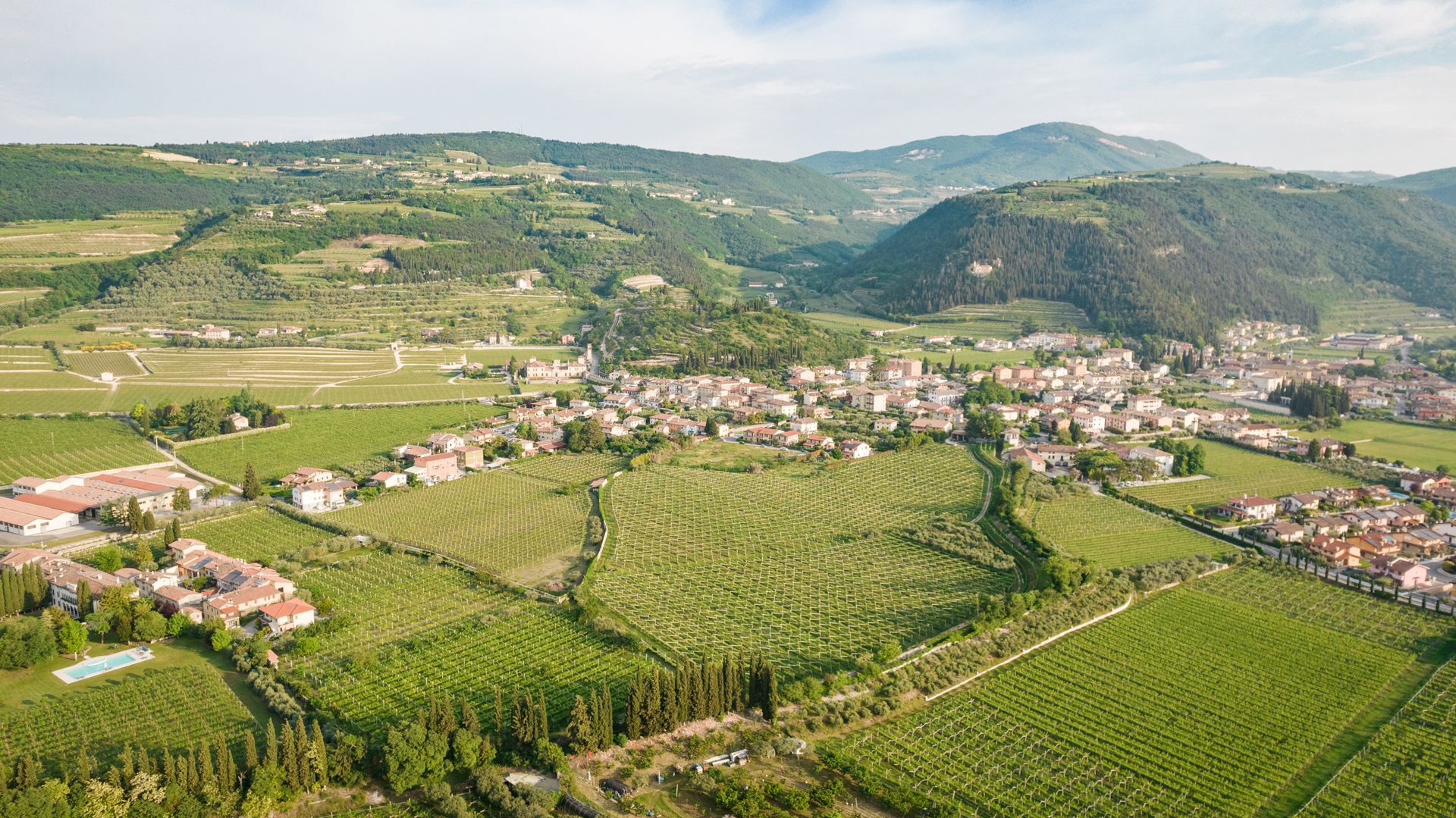
Discover through 3 easy routes on foot the main points of interest in the historic center of the municipality of Negrar di Valpolicella and the most interesting points on the east and west sides of the valley.
* ITINERARY 1
Pojega- Villa -Castel -Rovereti
duration 1h30 ', distance 4.20 km, difference in height 108m
Turning your back on the Negrar Town Hall, turn right and go over the bridge on the "progno" (watercourse), taking Via San Martino on the left and then the tree-lined avenue for Pojega on the right.
To the left of Villa Rizzardi begins the dirt road that ends in Villa (on the right). With your back to the large arched portal, descend briefly and take the paved road uphill to the left; at the crossroads, turn left and continue to Castel.
Take the slightly downhill dirt road that starts in front of the large wooden door of the complex. You enter a short stretch cemented and then left in via Calcarole up to a crossroads characterized by a column. On the lower left you can see the church of San Peretto.
Continue straight on via Rovereti, first on asphalt and then on a downhill path, until the walls of Villa Rovereti, to be skirted to the right until the end. Return via via degli Alpini or one of the other two parallel avenues.
* ITINERARY 2
Pojega- San Peretto- Villa La Sorte-Rovereti
duration 1h30 ', distance 4.70 km, difference in altitude 130m
Turning your back on the Negrar Town Hall, turn right and cross the bridge over the "progno" (waterway), going along via San Martino on the left and then the tree-lined avenue on the right to Villa Rizzardi in Pojega. Climb right on via Guglielmi and via Calcarole to the crossroads with a stone column.
Going straight down Via Crosetta and immediately turning right at the wall (lawn and then steps), you reach the Church of San Peretto. At the bottom take left for about 250m. and, at the curve, continue straight uphill (asphalt then dirt) to Villa La Sorte (on the left). Go back on the same road to the center of San Peretto and go up on the right in via Crosetta.
Once at the crossroads at the top of the hill, take via Rovereti on the left, first on asphalt and then on a downhill path, up to the walls of Villa Rovereti to be skirted right to the end. Return via via degli Alpini or one of the other two parallel avenues.
* ITINERARY 3
Jaga - Villa Spinosa
duration 1h15 ', distance 4.20km, difference in altitude 110m
With your back to the Negrar Town Hall, take the road next to the church on the left and go up Via Marconi. Turn left for the "shortcut" uphill (via don Piccoli). At the top, continue to go up briefly, then turn right into via Jago di Sotto, continuing straight to a historic wash house (on the left).
Continue for a few meters and cross the narrow village of Jago to the right until the sixteenth-century Villa Pigari-Dall'Ora outside which there is another nice washhouse. Return to the same path at the crossroads and continue keeping to the right until the Villa Spinosa complex.
Take the path, partly in concrete and partly in the ground, which starts from the stone slab wall of the gate of the villa and which, with a circular, flat and slightly downhill path, crosses the vineyards and comes out at a crossroads with a sink to the left. Go straight and turn left in via Salgari to the center of the town.
The project idea was born from Cantina Valpolicella Negrar and was realized with the contribution of the social purpose of the educational-social project La Scuola nel vigneto (III edition), which aims to promote interest and knowledge of tradition in the younger generations viticulture in Valpolicella with its historical and naturalistic aspects. It is an innovative map conceived according to the criteria of social design, or according to a participatory planning that involves the community to respond to its needs. Graphically created by Duemaninonbastano, the Milanese studio selected by Cantina Valpolicella Negrar, it made use of the contributions of the students of the E. Salgari Comprehensive Institute in Negrar di Valpolicella.
The aim is to make the inhabitants, tourists and occasional guests aware of the peculiarities of the Negrar valley, providing 3 routes that can be easily traveled on foot. In addition to the main points of interest in the historic center of the municipality of Negrar di Valpolicella, 3 different itineraries are illustrated that start from the Town Hall and touch the east and west sides of the valley. The itineraries were covered by the students with their teachers and volunteers from the Tourism Group of the Municipality and the descriptions of the map are inspired by the research that the students have carried out in the various school disciplines involved.
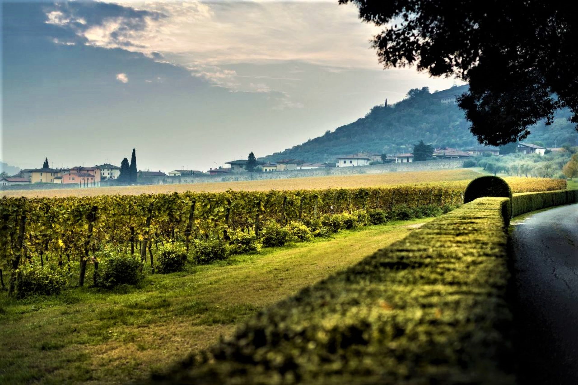
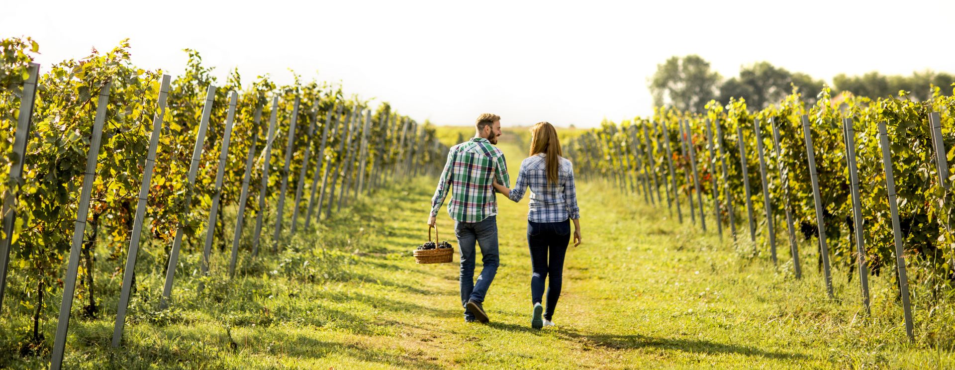
In addition to the simple description of the main points of interest, also represented in the form of pictograms, we wanted to focus attention on two issues that have always constituted the identity of the Negrar valley, one of the five municipalities of the Valpolicella Classica: the importance water testified by the presence of ancient wash houses and mills and the cultivation of vines and native vines such as Corvina, Corvinone and Rondinella, which characterize a wine production of excellence.
The map aims to accompany and guide (the texts indicate differences in height, distances, times and characteristics of the routes) but above all to make people understand the value and beauty of a territory through knowledge and participation.